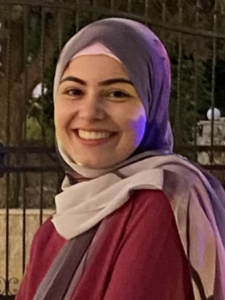
I’m Batoul El Sayed Mohamad, this fall I’ll be a sophomore in Computer Engineering. During this summer, I worked on utilizing Python in manipulating geostationary data. In the beginning, I focused on reading image files and editing them through python as well as making a color detector. Later, I extracted data from the GOES-16 Satellite and developed weather maps. Finally, I took a local approach and plotted an NYC map for precipitation using data from NOAA (National Oceanic & Atmospheric Administration).
